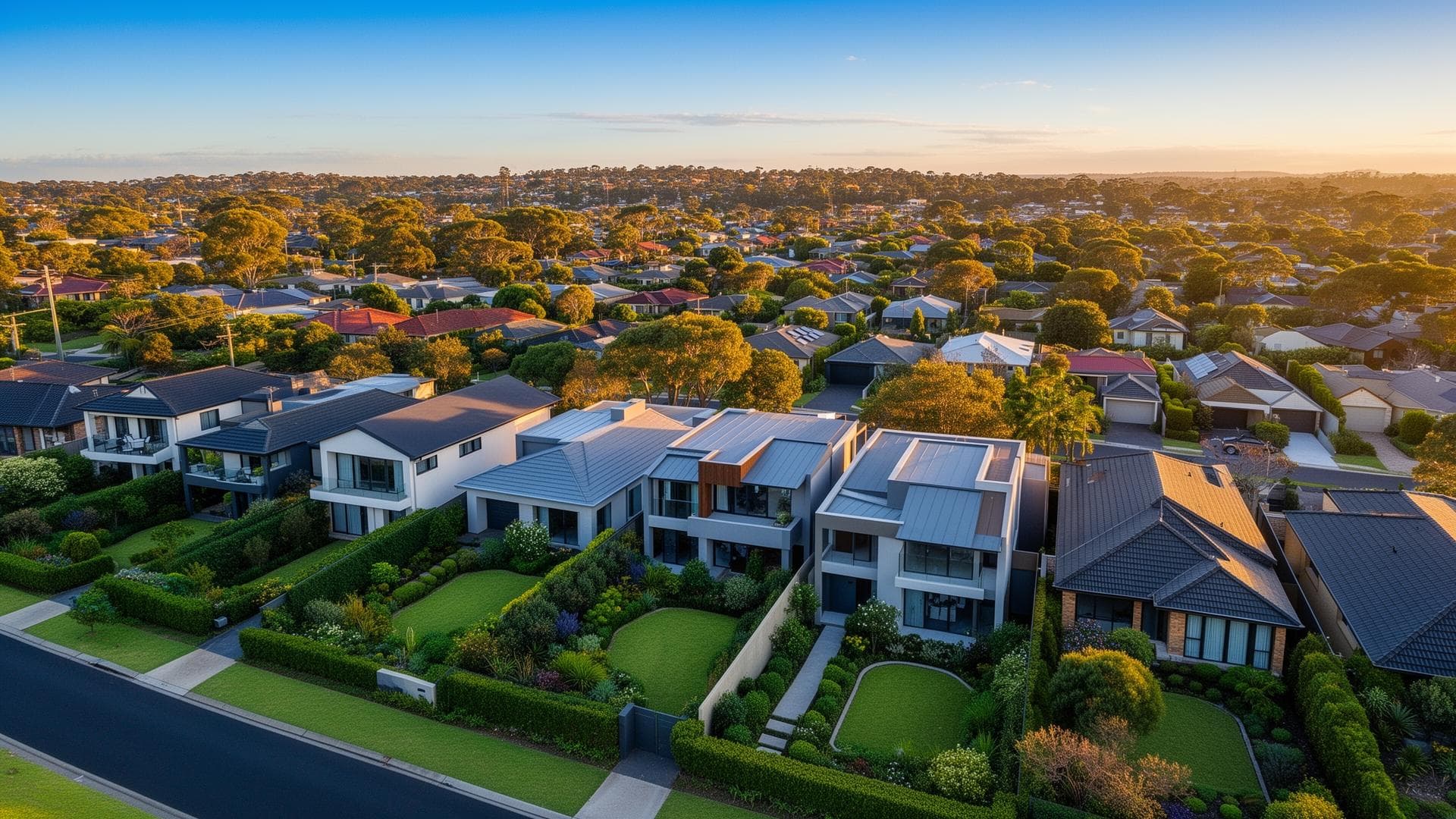
Kanimbla's housing stock is unusually uniform. At the 2021 Census, 98.7 percent of its 951 occupied dwellings were separate houses against 74.8 percent for Queensland, 72.1 percent had four or more bedrooms against 38.8 percent, and not one was a flat or apartment. Half, 49.2 percent, were owned with a mortgage, above Queensland's 34.4 percent and the wider Cairns - North area's 41.1 percent. Median weekly family income was $2,425 against $2,024 for Queensland, at the 2021 Census.
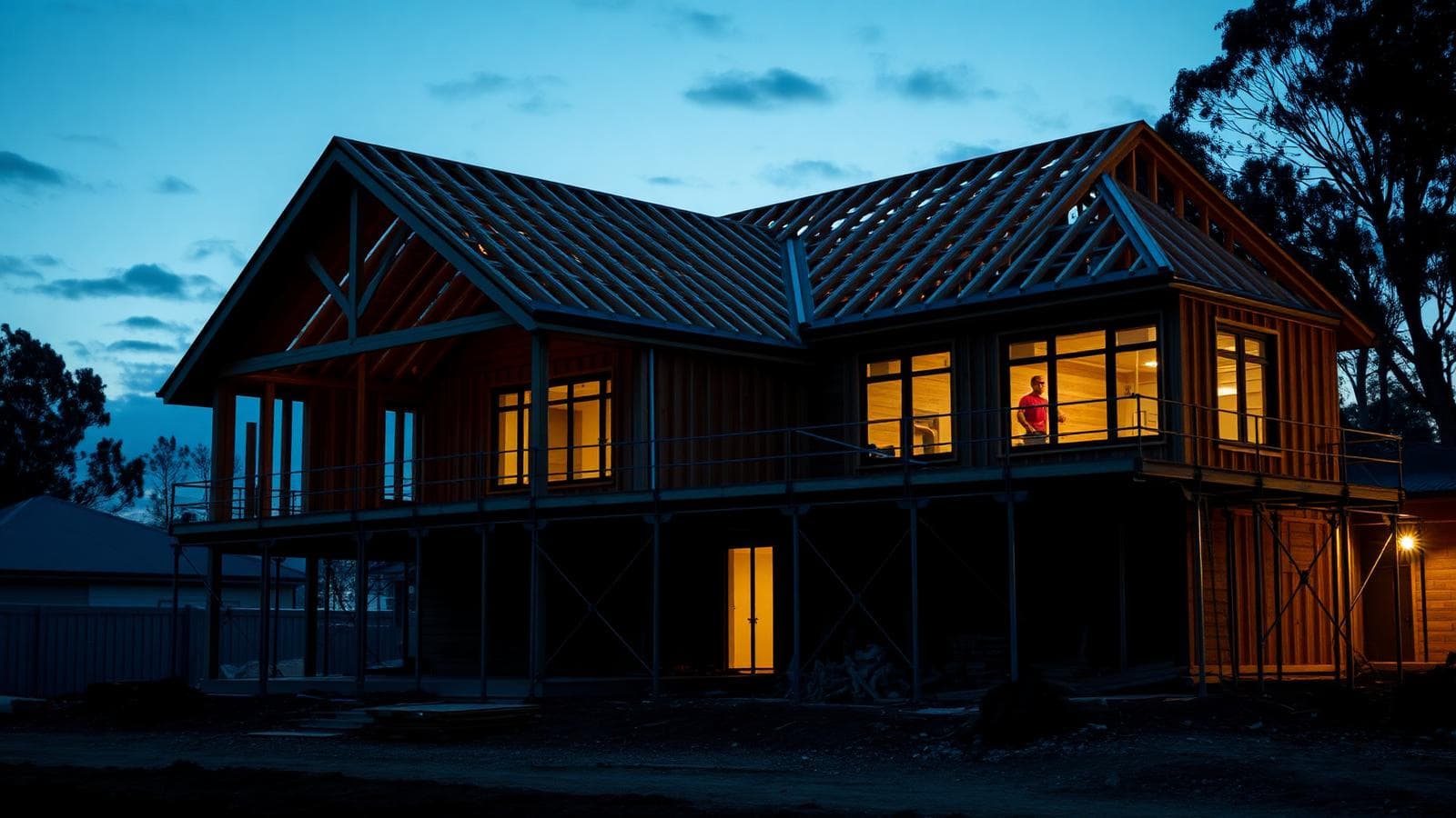
Those figures describe a household already borrowing, already in a large house, and often deciding between a bigger house and a better loan. The two paths are financed differently. An upgrade means a new purchase while the current home is sold or kept, so it starts with pre-approval: FundUp says it lodges and chases properly assessed pre-approvals so buyers can make offers, with most straightforward applications back within 24 to 48 hours depending on the lender and complexity, and usually valid for around 90 days. If the next house turns up first, FundUp describes bridging finance as a loan covering the gap, with interest usually capitalised and most lenders capping the term at 6 to 12 months, all depending on your equity and circumstances. Staying put and restructuring means a refinance comparison instead, which FundUp says counts discharge fees, application costs and lenders mortgage insurance, and only recommends a switch if it genuinely puts you ahead.
The ground under Kanimbla adds two checks that a suburb of flats never raises. Council's master plan describes the Kanimbla and Brinsmead precinct as reclaimed cane farms and hill slopes, and CairnsPlan 2016 carries a hillslopes overlay code about gradient, slope stability and avoiding complex engineering, which may apply to parts of Cairns' hillside suburbs. Council also owns and operates two floodwater detention basins in Kanimbla, the Moody Creek basins, built to hold water temporarily in heavy rain and release it slowly to reduce flows downstream. Neither fact says anything about a particular house, and council's own flood mapping is an indicative planning tool, not fit for insurance eligibility or self-assessment. What they do mean is that slope or flood questions can come up in a valuation or an insurance quote, so check council's overlay mapping for your own lot and order its property-specific Flood Zone and Storm Tide Information search early, before you rely on a pre-approval or go unconditional. Bring those results to FundUp's discovery call, which maps deposit, income and property goals, so the borrowing power step works from the real property rather than the listing.