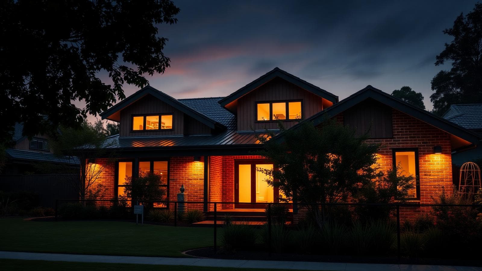
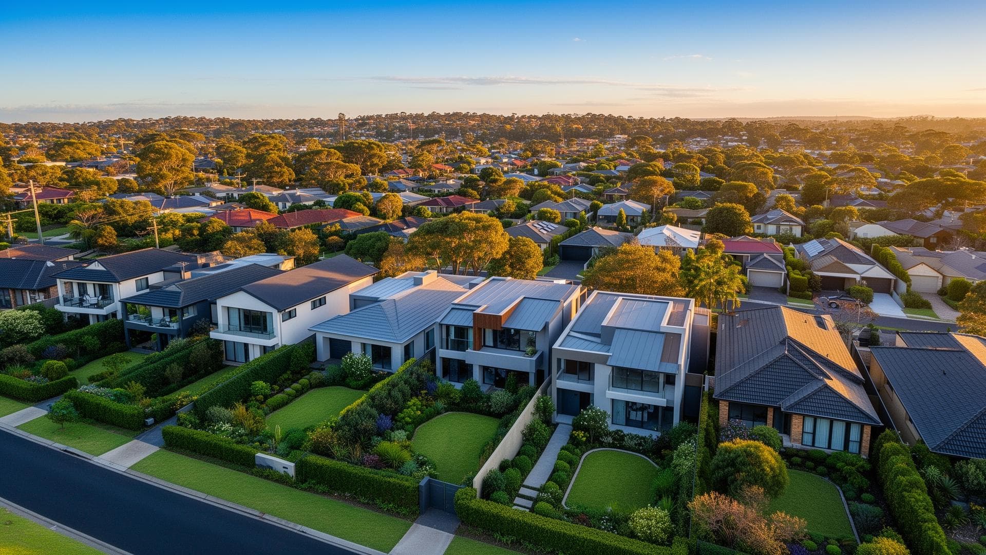
Trinity Beach's housing stock is more mixed than the state's. In the 2021 Census, 68.5 percent of the suburb's occupied homes were separate houses, 13.0 percent townhouses or semi-detached and 17.8 percent flats, against 12.5 percent flats for Queensland. For a buyer, that makes a unit or townhouse a normal purchase here, and a lender assessing a strata unit generally asks about the building and the body corporate as well as the borrower. Lender policy on units varies, so rather than quote any rule as fact, Ned checks the current policy of the lenders on FundUp's panel against the actual property before you rely on a pre-approval.
Tenure tells the second half. In 2021, 40.2 percent of Trinity Beach households were paying off a mortgage, above Queensland's 34.4 percent, 27.2 percent owned outright and 31.1 percent rented. That profile produces upgraders who find the next house before the current one sells, owners looking to refinance or draw on equity, and investors holding rented property. Bridging finance is the tool for the first group: FundUp describes it as a loan covering the gap between buying and selling, with interest usually capitalised and most lenders capping the term at six to twelve months. Whether it suits you depends on your equity, income and the lender's terms, which is why it belongs in a discovery call, not a headline offer.
The people side matters too. As 2021 Census context, Trinity Beach had a median age of 42 against 38 for Queensland, couples without children were the largest family type, and a higher share of residents worked in accommodation than the state average. That points to owners moving within the suburb, and to applicants with seasonal or self-employed income who may need lenders that accept BAS, an accountant's declaration or business bank statements instead of payslips, depending on the lender and your circumstances.
Then there is the setting. Council's draft local adaptation plan, marked draft for consultation, describes Trinity Beach as relatively stable and protected by Taylor Point and Earl Hill, with a vegetated buffer that narrows from north to south. The same draft records historic erosion at the northern end, which led to a rock seawall, and proposes continued beach nourishment and dune construction at the southern end. None of this says what any particular property faces; it says council mapping and a fee-based property flood and storm tide search exist, which lenders and insurers can consider. The practical action: get that search and an insurance quote before relying on a pre-approval, and tell Ned so the lender is briefed.